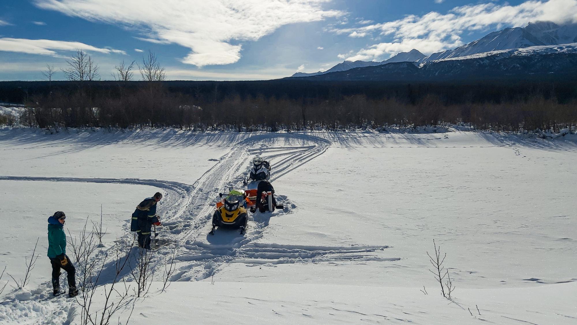
 (Photo: Dezadeash River, March 3, 2021)
The discharge of rivers around the world is monitored using different technologies in order to provide water users with accurate flow data. Without this information, aquatic habitats may be compromised, energy can be wasted, and water levels could be challenging to forecast.
In cold regions, rivers become ice covered for several months every year and this is when estimating the winter discharge becomes a real challenge. Yet, rivers remain a source of drinking water and a habitat to many species during the cold season. The objective of this project is to develop novel methodologies to support winter discharge estimation in partnership with the Water Survey of Canada, the agency operating thousands of monitoring stations across Canada. The outcome of this project will make winter discharge estimates more accurate and therefore more useful to a large range of water users, from industries and electricity producer to flood forecasters and environmental regulators. The tools and information developed through this project could be exported to any cold country, including the United States and Scandinavia.
This project started in 2020 with a documentation of the existing procedure to produce winter discharge data at several stations in Yukon. It was followed in 2021-2022 by an in-depth analysis of 20 years of hydrometric data (water quantity data, namely water levels and estimated flow) at 9 stations located along rivers of Yukon. From this analysis, sand based on a literature review, new tools and computational approaches were developed to improve the existing discharge production procedure at the Water Survey of Canada. The proposed procedure was successfully tested at 4 sites. However, the research is far from over. In 2022-23, the procedure will be implemented into the Water Survey of Canada data management platform (Aquarius) and tested at sites outside of Yukon and more tools will be developed to facilitated discharge estimations in a broad range of river contexts (small and large rivers, steep and low-gradient rivers, rivers that are ice-covered for several months every winter and rivers that are frequently affected by mid-winter runoff events and mid-winter breakups). A river classification matrix for watercourses of Canada will also be developed, which will contribute to developing adapted winter discharge estimation strategies.
This research has already produced unique results that support sustainable water management for a large range of stakeholders. Two reports have been produced as of July 2022 and one conference paper has been presented. More reports and publications are planned for 2024.
- National Hydrological Services, Meteorological (main funder and research partner) Services of Canada, Ottawa, Ontario
- ArcticNet North by North (secondary funder)
- The Water Survey of Canada office in Whitehorse (local partner)
- Turcotte, B., 2022. Improving winter discharge estimates, Phase II – proposed new procedure and proof of concept. Presented to the National Hydrological Services, Meteorological Services Canada. Prepared by the YukonU Research Centre, Yukon University. 57 p.
- Turcotte, B., Rainville, F., 2022. A new winter discharge estimation procedure: Yukon proof of concept. In 26th IAHR International Symposium on Ice, Montréal, Canada, June 19-23.
- Turcotte, B., 2021. Improving winter discharge estimates, Phase I – Yukon Pilot Project. Presented to the National Hydrological Service, Environment and Climate Change Canada. YukonU Research Centre, Yukon University. 17 p.